Official-source prevention and wildfire check · Sept. 11, 2026
Sept. 11 official wildfire check: N’Quatqua prescribed fire planned, Southeast Category 2 ban lifted
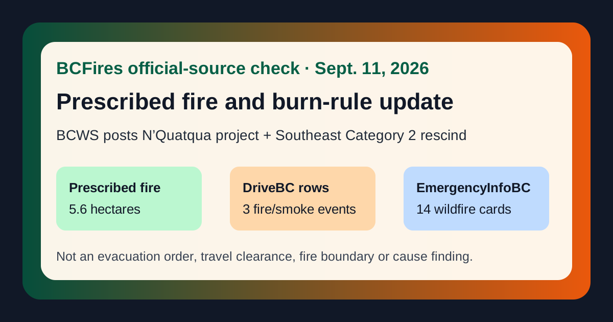
Captured 2026-09-11T13:47:59.837886+00:00 from BC Wildfire Service, EmergencyInfoBC, DriveBC/Open511 and B.C. fire-prohibition sources.
If life or property is at immediate risk, call 911. To report a wildfire, call 1-800-663-5555 or *5555 on a cellphone.
Bottom line: BC Wildfire Service posted two practical Sept. 10 updates for readers to keep straight. One is a planned 5.6-hectare prescribed fire project near N’Quatqua / D’Arcy that could begin as early as Wednesday, September 16 if conditions allow. The other allows Category 2 open fire again in the Southeast Fire Centre at noon Friday, September 11, while Category 3 open fires remain prohibited there. DriveBC/Open511 still listed 3 wildfire/fire/smoke road rows, and EmergencyInfoBC still displayed 14 wildfire-related current-emergency cards at capture time.
This article is not an evacuation order, evacuation alert, road detour, safe-return clearance, smoke-health forecast, fire-boundary map, arson allegation or final cause finding. Open the live official pages before travelling, returning, burning, camping or sharing screenshots.
What BCWS says about the N’Quatqua / Lower Haylmore Creek prescribed fire
BCWS says it will assist N’Quatqua and the Sea to Sky Resource District with a 5.6-hectare prescribed burn within the Pemberton Zone of the Coastal Fire Centre. The site is about two kilometres east of D’Arcy, on the southeast side of Smáxen (Anderson Lake), and is a continuation of a project partly carried out in April 2026.
BCWS says timing depends on weather and site conditions, but burning could begin as early as Wednesday, September 16. Smoke may be visible from D’Arcy, Devine, Birken and surrounding areas, and to motorists on Pemberton-Portage Road, the Highline and Haylmore Creek forest-service roads. The stated goals include reducing dead and combustible material, improving forest health, enhancing native plants of cultural importance to N’Quatqua, improving wildlife habitat, and supporting firefighter safety and effectiveness in a future wildfire.
Open the BCWS prescribed-fire notice.
What changed for Southeast Fire Centre open burning
BCWS says Category 2 open fire is permitted throughout the Southeast Fire Centre effective 12:00 noon Pacific Time on Friday, September 11, 2026. The bulletin says the fire centre includes the Rocky Mountain Natural Resource District and Selkirk Natural Resource District. It also says Category 3 open fires have been prohibited throughout the Southeast Fire Centre since May 21, 2026.
BCFires is not telling anyone to burn. The reader-service point is narrower: check the live fire-centre page, local government or municipal rules, venting/smoke conditions and BCWS definitions before lighting anything. Local bylaws or site-specific restrictions can still be stricter than a fire-centre rescindment.
Open the BCWS Southeast Fire Centre Category 2 notice.
Other official-source context captured today
The latest BCWS feed also included a Sept. 9 Prince George Fire Centre notice saying Category 2 and Category 3 open fires are permitted again in the Stuart Nechako Forest District / Vanderhoof and Fort St. James Fire Zones from noon Sept. 10. That is a district-specific change, not a province-wide all-clear.
DriveBC/Open511 still listed 3 rows containing wildfire, fire or smoke wording, including 2 marked MAJOR. The newest captured row was drivebc.ca/DBC-93947 updated 2026-09-09T13:00:21-07:00. Its visible wording began: “Princeton Summerland Rd. There is a wildfire between Trout Creek Main and Summerland 45 km north of Princeton. Road closed. Watch for traffic control. Alternate Routes: Highway 5A and Highway 3. Next update time Fri Sep 11 at 9:00 AM PDT. Last updated Wed Sep 9 at 1:00 PM PDT. (DBC-93947)”
EmergencyInfoBC still displayed wildfire/evacuation-information pages. These can include orders, alerts, rescinds, authority links and preparedness instructions; readers need to open the specific page and the local or First Nation authority link before acting.
Selected DriveBC/Open511 rows captured
| Status | Road | Updated | Official wording captured |
|---|---|---|---|
| MAJOR | Other Roads | 2026-09-09T13:00:21-07:00 | Princeton Summerland Rd. There is a wildfire between Trout Creek Main and Summerland 45 km north of Princeton. Road closed. Watch for traffic control. Alternate Routes: Highway 5A and Highway 3. Next update time Fri Sep 11 at 9:00 AM PDT. Last updated Wed Sep 9 at 1:00 PM PDT. (DBC-93947) Open DriveBC/Open511 event |
| MAJOR | Other Roads | 2026-09-07T12:33:35-07:00 | Silver Skagit Rd, in both directions. There is a wildfire between Silver Skagit Rd 6km mark and USA/Canada Border. Road closed. Closure point is approximately 6km south of Flood Hope Rd due to Provincial Parks closure caused by Hozomeen Mountain Wildfire. Silver Lake remains open. Ross Lake Campground and Skagit Valley Park closed. Next update time Sat Sep 12 at 3:00 PM PDT. Last updated Mon Sep 7 at 12:33 PM PDT. (DBC-93773) Open DriveBC/Open511 event |
| MINOR | Westside Rd | 2026-09-02T11:11:42-07:00 | Westside Rd, in both directions. There is a wildfire between Komasket Rd and Simla Rd for 8.1 km (48 to 56 km east of West Kelowna). Westside Rd is open. No stopping between Irish Creek Rd and Komasket Rd. Next update time Fri Sep 18 at 12:00 PM PDT. Last updated Wed Sep 2 at 11:11 AM PDT. (DBC-93854) Open DriveBC/Open511 event |
EmergencyInfoBC wildfire/evacuation-information pages visible on the homepage
| Page | Visible homepage text / link |
|---|---|
| Okanagan Indian Band evacuation information | Wildfire Okanagan Indian Band evacuation information Open EmergencyInfoBC page |
| Cariboo Regional District evacuation information | Wildfire Cariboo Regional District evacuation information Open EmergencyInfoBC page |
| Spuzzum First Nation evacuation information | Wildfire Spuzzum First Nation evacuation information Open EmergencyInfoBC page |
| Regional District of Okanagan-Similkameen evacuation information | Wildfire Regional District of Okanagan-Similkameen evacuation information Open EmergencyInfoBC page |
| Lytton First Nation evacuation information | Wildfire Lytton First Nation evacuation information Open EmergencyInfoBC page |
| Coldwater Indian Band evacuation information | Wildfire Coldwater Indian Band evacuation information Open EmergencyInfoBC page |
| Llenllenéy’ten (High Bar First Nation) evacuation information | Wildfire Llenllenéy’ten (High Bar First Nation) evacuation information Open EmergencyInfoBC page |
| District of Summerland evacuation information | Wildfire District of Summerland evacuation information Open EmergencyInfoBC page |
| Ts’kw’aylaxw First Nation evacuation information | Wildfire Ts’kw’aylaxw First Nation evacuation information Open EmergencyInfoBC page |
| Boothroyd Indian Band evacuation information | Wildfire Boothroyd Indian Band evacuation information Open EmergencyInfoBC page |
BC Wildfire Service latest-post feed
| Date | BCWS post | Visible excerpt / link |
|---|---|---|
| 2026-09-10T16:02:52 | Continuation of prescribed fire project planned for N’Quatqua (D’Arcy) area at Lower Haylmore Creek | PEMBERTON – The BC Wildfire Service will be assisting N’Quatqua and the Sea to Sky Resource District in conducting a 5.6-hectare prescribed burn within the Pemberton Zone of the Coastal Fire Centre. This is the continuation of a prescribed fire project that wa Open BCWS post |
| 2026-09-10T15:38:42 | Category 2 open fire prohibition rescind in the Southeast Fire Centre | CASTLEGAR – Effective at 12:00 noon Pacific Time on Friday, September 11, 2026, Category 2 open fire will be permitted throughout the Southeast Fire Centre, which includes the Rocky Mountain Natural Resource District and the Selkirk Natural Resource District. Open BCWS post |
| 2026-09-09T14:47:18 | Category 2 and 3 open fire prohibition rescind for the Prince George Fire Centre | VANDERHOOF – Effective at 12 p.m. (noon) on Thursday, September 10, 2026 Category 2 and Category 3, open fire will once again be permitted in the Stuart Nechako Forest District (Vanderhoof and Fort St. James Fire Zones). A Category 2 open fire, as defined in t Open BCWS post |
| 2026-09-04T11:25:09 | Area restriction rescinded for Poplar Creek area | CASTLEGAR – The BC Wildfire Service continues to respond to the Poplar Creek wildfire (N71253). This wildfire is estimated to be 664 hectares and is located in the Poplar Creek area, approximately 20 km northwest of Meadow Creek. Effective Friday, September 4, Open BCWS post |
| 2026-09-04T11:18:45 | Area restriction rescinded for Hope Creek area | CASTLEGAR – The BC Wildfire Service continues to respond to the Hope Creek North wildfire (N71254), adjacent to the Lardeau River. This wildfire is estimated to be 1,755 hectares. Effective Friday, September 4, 2026, at 12 p.m. (noon) PT, the area restriction Open BCWS post |
| 2026-09-04T09:06:48 | Area Restriction for Bald Range wildfire rescinded | KAMLOOPS – The BC Wildfire Service will be rescinding an Area Restriction Order within the vicinity of the Bald Range wildfire (K51490). This Area Restriction Order rescind is effective September 4, 2026, at 12 p.m. (noon) PT. As the fire behaviour and activit Open BCWS post |
| 2026-09-03T11:18:17 | Area restriction amended for Matthew Creek area | CASTLEGAR – The BC Wildfire Service continues to respond to the Matthew Creek wildfire (N11020) in the Matthew Creek area. This wildfire is estimated to be 1,826 hectares and is located approximately 10km west of the City of Kimberley. The recent downturn in w Open BCWS post |
| 2026-09-02T10:29:55 | Area restriction rescinded for Sea Lion Mountain area | CASTLEGAR – The BC Wildfire Service continues to respond to the Sea Lion Mountain wildfire (N41412) in the Sea Lion Mountain area. This wildfire is estimated to be 1,356 hectares and is located in the Sea Lion Mountain area, 27 km northeast of the Town of Gold Open BCWS post |
Source package
- Source note
- Claim table
- Source summary JSON
- Filtered DriveBC/Open511 wildfire rows
- BCWS latest-post capture
- EmergencyInfoBC event API capture
Primary sources: DriveBC/Open511, EmergencyInfoBC, BC Wildfire Service latest posts API, and B.C. fire prohibitions and restrictions.