Official-source prevention/access update · Published September 2, 2026
Sept. 2 official wildfire check: Cariboo and Kamloops campfires return Sept. 3, Inonoaklin restriction rescinded
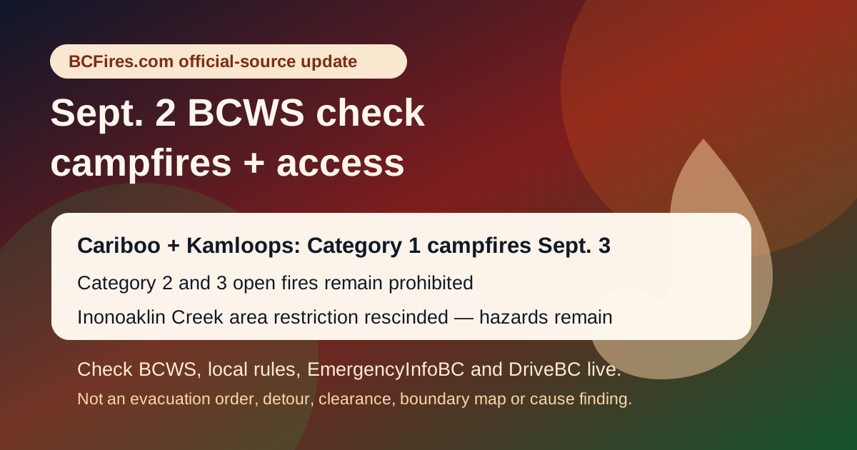
BCFires official-source update: BCWS says Category 1 campfires will be permitted in the Cariboo and Kamloops fire centres Sept. 3, while larger open fires remain prohibited and the Inonoaklin Creek area restriction has been rescinded.
What BCWS says changed
- In the Cariboo Fire Centre, BCWS says Category 1 campfires will be permitted throughout the fire centre and Tsilhqot’in (Xeni Gwet’in) Declared Title Area effective 12:00 p.m. PDT Thursday, Sept. 3, 2026.
- In the Kamloops Fire Centre, BCWS says Category 1 campfires will be permitted throughout the fire centre effective 12:00 noon PDT Thursday, Sept. 3, 2026.
- For Inonoaklin Creek, BCWS says the area restriction is rescinded effective immediately because fire behaviour and activity decreased and personnel no longer need to restrict public access to the area.
What still needs a live check
Both campfire bulletins say Category 2 and Category 3 open fires remain prohibited. The bulletins also list restricted activities and equipment such as air curtain burners, carbonizers, binary exploding targets, fireworks, burn barrels or burn cages, and controlled air incinerators. The exact list and local exceptions can differ by area, so readers should open the BCWS fire-bans page and their local authority page before lighting anything.
The Inonoaklin Creek bulletin is also not a general all-clear. BCWS warns that fire-damaged trees may be unstable, ash pits can remain hot, smoke may still be seen inside the perimeter, and officials can still order people to leave under wildfire law if required.
Official source links
- BCWS Cariboo Fire Centre Category 1 campfire bulletin
- BCWS Kamloops Fire Centre Category 1 campfire bulletin
- BCWS Inonoaklin Creek area-restriction rescindment bulletin
- B.C. fire bans and restrictions
- EmergencyInfoBC current emergencies
- DriveBC live road conditions
EmergencyInfoBC pages captured in this source check
- Evacuation Alert issued for some areas in Electoral Area B — modified 2026-08-28T13:18:56. Open EmergencyInfoBC page
- Regional District of Bulkley-Nechako evacuation information — modified 2026-08-28T17:53:02. Open EmergencyInfoBC page
- Evacuation Alert issued for parts of Clinton — modified 2026-08-25T13:13:19. Open EmergencyInfoBC page
- Evacuation Alert RESCINDED for Oceanview & Kelvin Grove roads — modified 2026-08-24T12:02:12. Open EmergencyInfoBC page
- Cayoose Creek Indian Band evacuation information — modified 2026-08-15T11:38:07. Open EmergencyInfoBC page
- Cook’s Ferry Indian Band evacuation information — modified 2026-08-27T14:34:16. Open EmergencyInfoBC page
- Lower Similkameen Indian Band evacuation information — modified 2026-08-17T17:13:54. Open EmergencyInfoBC page
- City of Revelstoke evacuation information — modified 2026-08-31T18:37:31. Open EmergencyInfoBC page
- Snpink’tn Indian Band evacuation information — modified 2026-08-28T19:12:59. Open EmergencyInfoBC page
- Nooaitch Indian Band evacuation information — modified 2026-08-24T14:07:55. Open EmergencyInfoBC page
Selected DriveBC/Open511 wildfire, fire or smoke rows captured
| Severity | Road | Updated | Official wording excerpt |
|---|---|---|---|
| MAJOR | Big Bar Reaction Ferry | 2026-08-31T07:25:38-07:00 | Big Bar Reaction Ferry. There is a wildfire at Big Bar Reaction Ferry (Big Bar Reaction Ferry). Ferry route closed. Next update time Wed Sep 2 at 10:00 AM PDT. Last updated Mon Aug 31 at 7:25 AM PDT. (DBC-93766) Open Open511 event |
| MAJOR | Other Roads | 2026-08-31T12:11:48-07:00 | Silver Skagit Rd, in both directions. There is a wildfire between Silver Skagit Rd 6km mark and USA/Canada Border. Road closed. Closure point is approximately 6km south of Flood Hope Rd due to Provincial Parks closure caused by Hozomeen Mountain Wildfire. Silver Lake remains open. Ross Lake Campground and Skagit Valley Park closed. Next update time Fri Sep 4 at 12:00 PM PDT. Last updated Mon Aug 31 at 12:11 PM PDT. (DBC-93773) Open Open511 event |
| MAJOR | Highway 97 | 2026-08-31T12:47:42-07:00 | Wildfire from Highway 97, In Spallumcheen and At Highway 97 and Old Kamloops Road to At Salmon River Road. Road open. Watch for traffic control. Last update: August 31st, 2026 at 12:47pm PDT. Next update: September 4th, 2026 at 12:00pm PDT. No stopping between Head of the Lake Rd and Grandview Flats Rd. Open Open511 event |
| MAJOR | Westside Rd | 2026-08-31T12:48:00-07:00 | Westside Rd, in both directions. There is a wildfire between Komasket Rd and Simla Rd for 8.1 km (48 to 56 km east of West Kelowna). Westside Rd is open. No stopping between Irish Creek Rd and Komasket Rd. Use caution. Avoid non-essential travel. Local traffic only. Next update time Fri Sep 4 at 12:00 PM PDT. Last updated Mon Aug 31 at 12:48 PM PDT. (DBC-93854) Open Open511 event |
| MAJOR | Other Roads | 2026-08-31T13:55:04-07:00 | Meadow Lake Rd, in both directions. There is a wildfire between Dog Creek Rd and Gang Ranch Rd. Road closed. Road closed to all traffic except emergency vehicles. Next update time Fri Sep 4 at 12:00 PM PDT. Last updated Mon Aug 31 at 1:55 PM PDT. (DBC-93781) Open Open511 event |
| MAJOR | Other Roads | 2026-08-31T13:55:23-07:00 | Big Bar Rd, in both directions. There is a wildfire between Little Big Bar Lake Rd and The Big Bar Ferry. Road closed. Road closed to all traffic except emergency vehicles. Next update time Fri Sep 4 at 12:00 PM PDT. Last updated Mon Aug 31 at 1:55 PM PDT. (DBC-93680) Open Open511 event |
| MAJOR | Other Roads | 2026-09-01T12:24:35-07:00 | Pavilion-Clinton Rd, in both directions. There is a wildfire between Pear Lake Road and Mowhich Road. Road closed to all traffic except emergency vehicles. Next update time Fri Sep 4 at 12:00 PM PDT. Last updated Tue Sep 1 at 12:24 PM PDT. (DBC-93772) Open Open511 event |
| MAJOR | Other Roads | 2026-09-01T15:11:55-07:00 | Princeton Summerland Rd. There is a wildfire between Trout Creek Main and Summerland 45 km north of Princeton. Road closed. Watch for traffic control. Alternate Routes: Highway 5A and Highway 3. Next update time Fri Sep 4 at 10:00 AM PDT. Last updated Tue Sep 1 at 3:11 PM PDT. (DBC-93947) Open Open511 event |
| MINOR | Highway 5 | 2026-08-25T09:58:57-07:00 | Construction work from Highway 5, At Exit 250 to Larson Hill to At Exit 256 to Coldwater Road. Starting Tue Aug 25. Left lane closed in both directions. Expect delays. Last update: August 25th, 2026 at 9:58am PDT. 24/7 construction. Please obey signage, slow down and watch for roadside workers. Expect delays and higher traffic volume due to Highway 1/Highway 3 wildfire activity. Open Open511 event |
| MINOR | Highway 3 | 2026-09-01T15:51:06-07:00 | Highway 3 (Crowsnest Highway). Limited visibility with smoke between First Avalanche Gate and Sunday Summit for 78.6 km (17 km east of Hope to 32 km west of Princeton). Last updated Tue Sep 1 at 3:51 PM PDT. (DBCRCON-250693) Open Open511 event |
Source package
The source package preserves BCWS JSON/HTML captures, EmergencyInfoBC and DriveBC/Open511 context, a source note, claim table and this original image.
BCFires.com is independent and not an official emergency service. Source capture timestamp: 2026-09-02T13:48:31+00:00.