BCFires source-check · satellite hotspots / fire-cause claims · 2026-08-28
“Wildfires don’t start simultaneously like this”: Instagram hotspot-map Reel, satellite limits and fire-cause evidence
A short Instagram Reel from Melissa | Truth Seeker / ungovernable_melissa says a satellite image shows Canadian wildfires starting “simultaneously.” Visible comments then jump to lasers, directed-energy weapons and arson. BCFires preserved the clip and checked what a hotspot map can — and cannot — prove.
Captured Reel Source note Claim table
What the Reel says
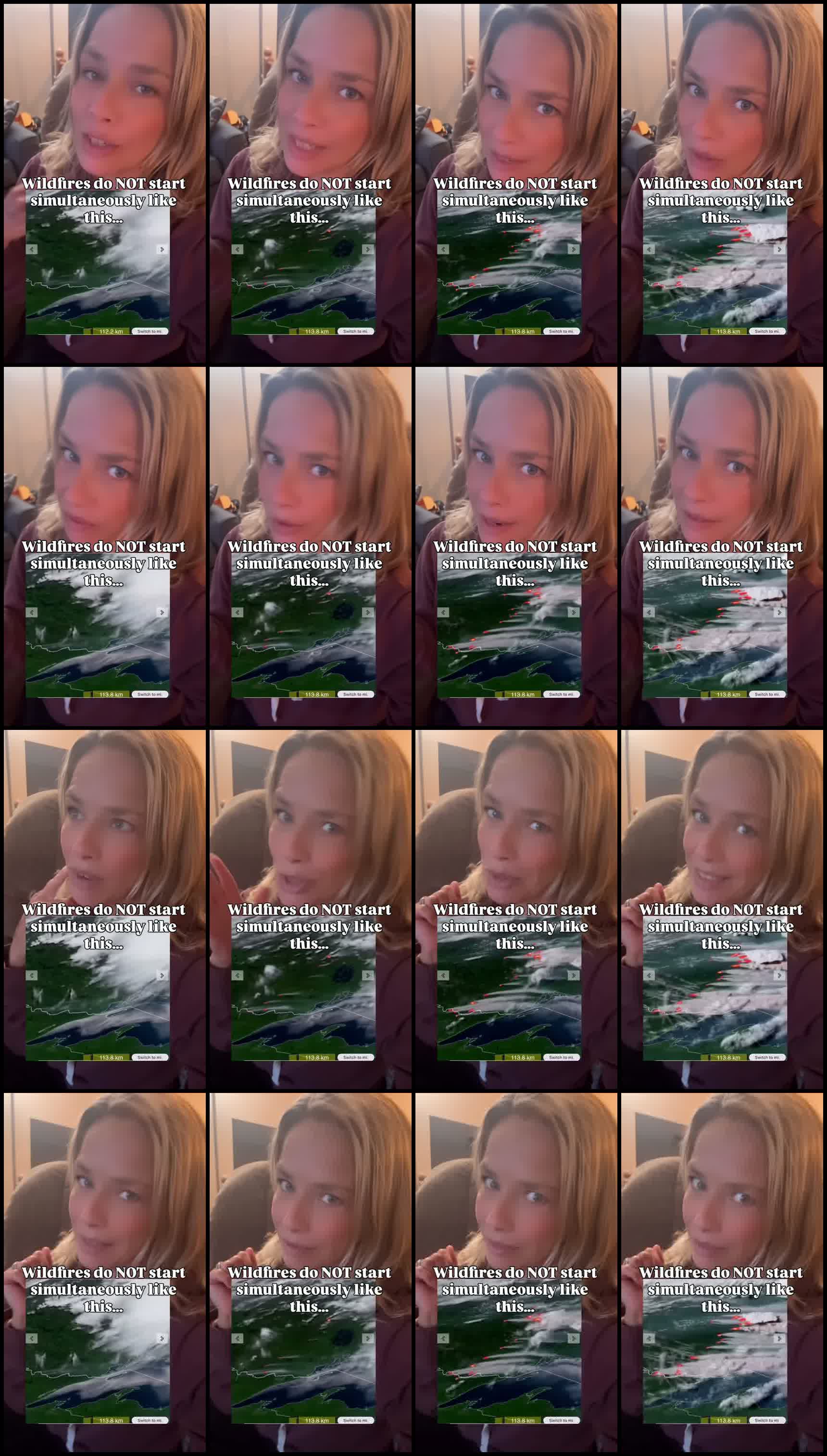
[0.02-3.82] Check out the satellite image of how these wildfires started in Canada. [3.82-6.82] Wildfires don't start simultaneously like this.
The thumbnail/frame text repeats: “Wildfires do NOT start simultaneously like this…” over a map with red/orange hotspot markers, smoke/cloud bands and a scale around 113 km. No map source, exact date, time, fire names or coordinates are visible in the preserved frames.
What the official-source trail says
| Question | Source-check answer |
|---|---|
| Can satellites detect active fire/hotspots? | Yes. NASA FIRMS says it distributes near-real-time active fire data from MODIS and VIIRS satellites; for the U.S. and Canada detections can be available in real time. NRCan/CWFIS also describes nationwide fire monitoring using satellites and agency-reported fire locations. |
| Does a hotspot map prove how a fire started? | No. FIRMS describes active fire / hotspot detections and thermal anomalies. That is not the same as a legal or scientific fire-cause finding. |
| Who determines cause in B.C.? | BC government pages say wildfire cause is determined by professional investigations. BCWS fire origin and cause specialists may examine ignition sources, burn patterns, physical evidence, weather history, witness statements and other evidence. |
| Can many detections appear close together without a weapon? | Yes. A map can show grouped detections from one satellite pass, lightning activity, multiple existing fires, wind-driven spread, spotting/embers, smoke/cloud/visibility limits, sensor resolution and map-refresh timing. The preserved Reel does not include the timing/metadata needed to prove simultaneous ignition. |
| Do comments prove DEW/lasers/arson? | No. Comments are preserved because they show how the Reel is being interpreted, but “lasers,” “directed energy weapons” and “100% arson” are unverified interpretations, not evidence in the video. |
Records needed before making a fire-cause claim
- Exact map source/layer: FIRMS, CWFIS, provincial map, Windy, Watch Duty, or another tool.
- Date/time range, timezone, satellite/instrument, confidence field and acquisition time for each hotspot.
- Fire names, official fire numbers, coordinates and BCWS/agency status.
- Lightning data, weather history, wind direction/speed and fuel conditions.
- Ground reports, dispatch logs, witness statements and official origin-and-cause findings.
Source package
The package includes the extracted Reel, thumbnail, transcript, contact sheet, browser-visible comments, metadata and official-source captures.
Open source note · Open claim table · Transcript · BC wildfire investigations capture · NASA FIRMS attributes capture