Official-source wildfire access update · September 4, 2026
Sept. 4 official wildfire check: Matthew Creek area restriction reduced, but access still closed
Source-card based on BC Wildfire Service, EmergencyInfoBC and DriveBC/Open511 captures made 2026-09-04T13:47:46+00:00.
If life or property is at immediate risk, call 911. To report a wildfire, call 1-800-663-5555 or *5555 on a cellphone.
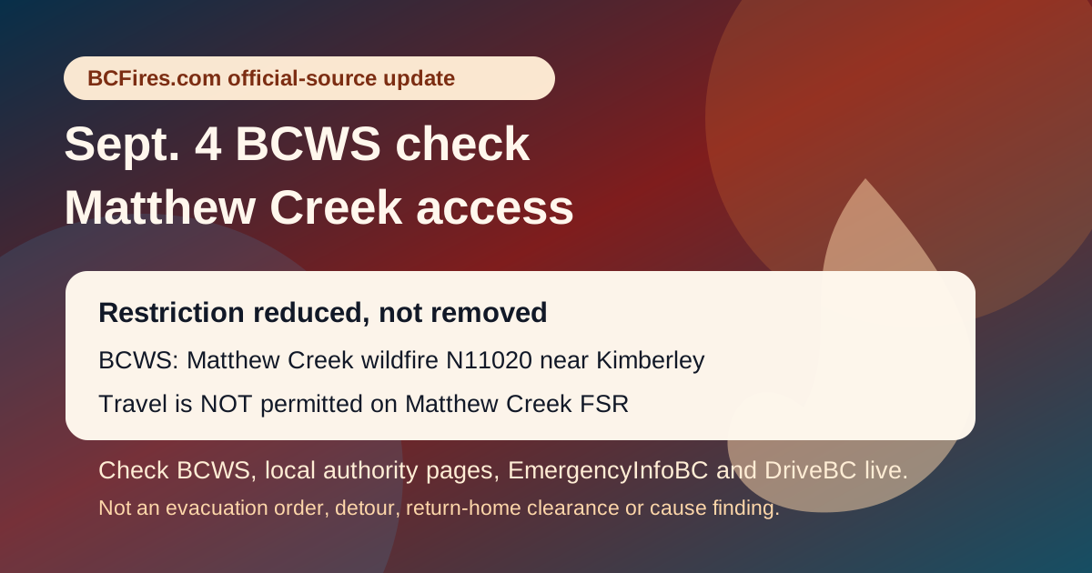
BC Wildfire Service says the Matthew Creek wildfire area restriction near Kimberley has been reduced, not removed. The Sept. 3 bulletin says the Matthew Creek wildfire (N11020) was estimated at 1,826 hectares, about 10 kilometres west of the City of Kimberley, and that cooler/wetter weather plus suppression work reduced fire activity.
The key public-access line is still restrictive: BCWS says the amended Crown-land restriction remains in place until October 31, 2026, or until rescinded, and that travel is NOT permitted on Matthew Creek Forest Service Road.
This is not a new evacuation order, evacuation alert, road detour, safe-return clearance, fire-boundary summary, arson allegation or final cause finding. It is a dated official-source check. Open the live BCWS, EmergencyInfoBC, local authority and DriveBC pages before acting.
What BCWS says changed
- BCWS is reducing the Matthew Creek area restriction effective noon PT September 3, 2026.
- The bulletin says reduced fire activity followed recent weather and ongoing work by firefighters, heavy equipment and aerial resources.
- The order still applies to Crown land inside the mapped restriction boundary.
- BCWS says travel is NOT permitted on Matthew Creek FSR.
- Failure to comply with section 11 restricted-area requirements may result in a $1,150 violation ticket, according to the bulletin.
BCWS map / order boundary
BCWS links the detailed affected-area map from the bulletin. BCFires is linking it rather than rehosting the official map.
- 26 N11020 MAP AreaRestriction Public 8.5x11P Sep 02
- Download
- fire prohibitions and restrictions section
- BC Wildfire Map
EmergencyInfoBC live-check context
EmergencyInfoBC's sampled event API still listed wildfire/evacuation/action pages at capture time. These are live-check pages, not a substitute for local evacuation orders or local/First Nation authority instructions.
- Evacuation Alert issued for some areas in Electoral Area B — modified 2026-08-28T13:18:56. Open EmergencyInfoBC page
- Regional District of Bulkley-Nechako evacuation information — modified 2026-08-28T17:53:02. Open EmergencyInfoBC page
- Evacuation Alert issued for parts of Clinton — modified 2026-08-25T13:13:19. Open EmergencyInfoBC page
- Evacuation Alert RESCINDED for Oceanview & Kelvin Grove roads — modified 2026-08-24T12:02:12. Open EmergencyInfoBC page
- Cayoose Creek Indian Band evacuation information — modified 2026-08-15T11:38:07. Open EmergencyInfoBC page
- Cook’s Ferry Indian Band evacuation information — modified 2026-08-27T14:34:16. Open EmergencyInfoBC page
- Lower Similkameen Indian Band evacuation information — modified 2026-08-17T17:13:54. Open EmergencyInfoBC page
- City of Revelstoke evacuation information — modified 2026-08-31T18:37:31. Open EmergencyInfoBC page
- Snpink’tn Indian Band evacuation information — modified 2026-08-28T19:12:59. Open EmergencyInfoBC page
- Nooaitch Indian Band evacuation information — modified 2026-08-24T14:07:55. Open EmergencyInfoBC page
DriveBC/Open511 wildfire/fire/smoke rows captured
DriveBC/Open511 is a dated travel snapshot. It is not an evacuation notice and may change after publication.
| Severity | Road | Updated | Official wording / link |
|---|---|---|---|
| MAJOR | Other Roads | 2026-08-31T12:11:48-07:00 | Silver Skagit Rd, in both directions. There is a wildfire between Silver Skagit Rd 6km mark and USA/Canada Border. Road closed. Closure point is approximately 6km south of Flood Hope Rd due to Provincial Parks closure caused by Hozomeen Mountain Wildfire. Silver Lake remains open. Ross Lake Campground and Skagit Valley Park closed. Next update time Fri Sep 4 at 12:00 PM PDT. Last updated Mon Aug 31 at 12:11 PM PDT. (DBC-93773) Open Open511 event |
| MAJOR | Other Roads | 2026-08-31T13:55:04-07:00 | Meadow Lake Rd, in both directions. There is a wildfire between Dog Creek Rd and Gang Ranch Rd. Road closed. Road closed to all traffic except emergency vehicles. Next update time Fri Sep 4 at 12:00 PM PDT. Last updated Mon Aug 31 at 1:55 PM PDT. (DBC-93781) Open Open511 event |
| MAJOR | Other Roads | 2026-08-31T13:55:23-07:00 | Big Bar Rd, in both directions. There is a wildfire between Little Big Bar Lake Rd and The Big Bar Ferry. Road closed. Road closed to all traffic except emergency vehicles. Next update time Fri Sep 4 at 12:00 PM PDT. Last updated Mon Aug 31 at 1:55 PM PDT. (DBC-93680) Open Open511 event |
| MAJOR | Other Roads | 2026-09-01T12:24:35-07:00 | Pavilion-Clinton Rd, in both directions. There is a wildfire between Pear Lake Road and Mowhich Road. Road closed to all traffic except emergency vehicles. Next update time Fri Sep 4 at 12:00 PM PDT. Last updated Tue Sep 1 at 12:24 PM PDT. (DBC-93772) Open Open511 event |
| MAJOR | Other Roads | 2026-09-01T15:11:55-07:00 | Princeton Summerland Rd. There is a wildfire between Trout Creek Main and Summerland 45 km north of Princeton. Road closed. Watch for traffic control. Alternate Routes: Highway 5A and Highway 3. Next update time Fri Sep 4 at 10:00 AM PDT. Last updated Tue Sep 1 at 3:11 PM PDT. (DBC-93947) Open Open511 event |
| MINOR | Highway 5 | 2026-08-25T09:58:57-07:00 | Construction work from Highway 5, At Exit 250 to Larson Hill to At Exit 256 to Coldwater Road. Starting Tue Aug 25. Left lane closed in both directions. Expect delays. Last update: August 25th, 2026 at 9:58am PDT. 24/7 construction. Please obey signage, slow down and watch for roadside workers. Expect delays and higher traffic volume due to Highway 1/Highway 3 wildfire activity. Open Open511 event |
| MINOR | Westside Rd | 2026-09-02T11:11:42-07:00 | Westside Rd, in both directions. There is a wildfire between Komasket Rd and Simla Rd for 8.1 km (48 to 56 km east of West Kelowna). Westside Rd is open. No stopping between Irish Creek Rd and Komasket Rd. Next update time Fri Sep 18 at 12:00 PM PDT. Last updated Wed Sep 2 at 11:11 AM PDT. (DBC-93854) Open Open511 event |
Source package
BCFires is independent and not an official emergency service. For urgent instructions, use official emergency channels.