Official-source wildfire check · Sept. 12, 2026
Sept. 12 official wildfire check: Northwest Category 3 ban ends; Deer Park burn planned
BCFires checked BC Wildfire Service, EmergencyInfoBC, DriveBC/Open511 and B.C.'s fire-ban page on Sept. 12, 2026. This is a dated source-card, not a live emergency bulletin.
If life or property is at immediate risk, call 911. To report a wildfire, call 1-800-663-5555 or *5555 on a cellphone.
Bottom line
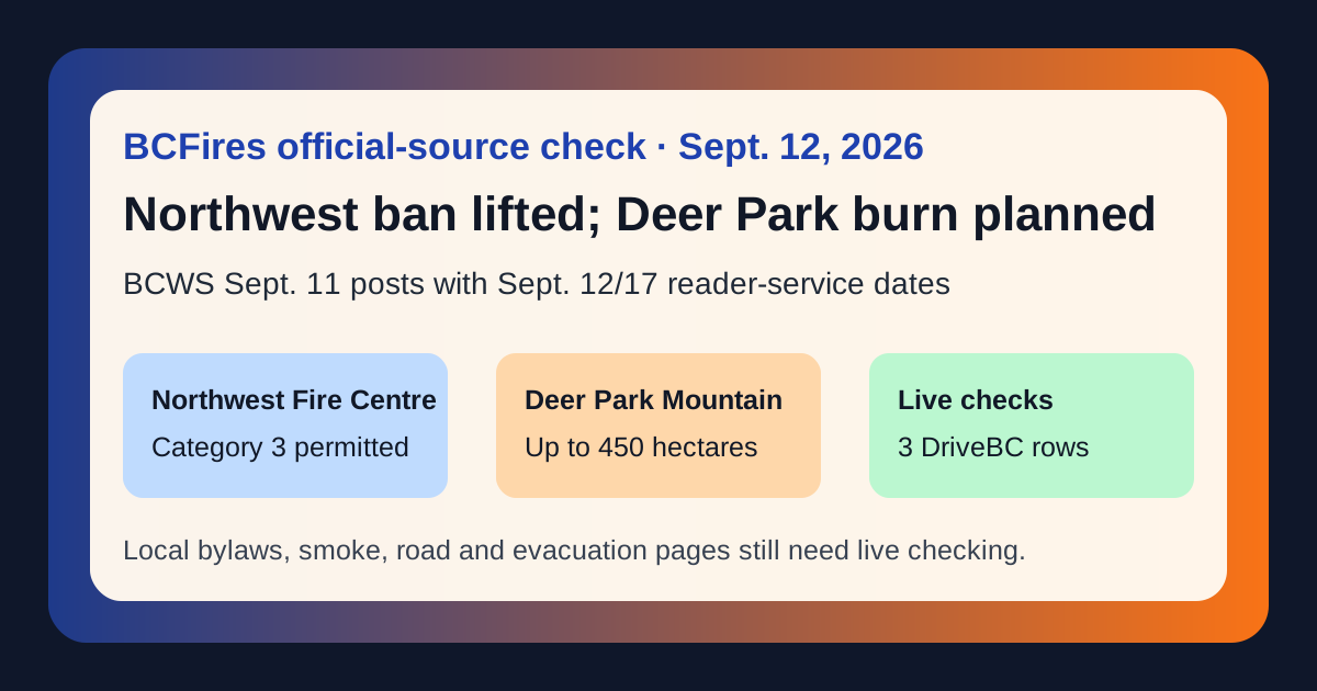
BC Wildfire Service posted two useful reader-service updates on Sept. 11. In the Northwest Fire Centre, Category 3 open burning is permitted again effective noon on Saturday, Sept. 12, and BCWS says there are no open-fire prohibitions in place for that fire centre after the change. In the Southeast Fire Centre, a Deer Park Mountain prescribed burn of up to 450 hectares could begin as early as Thursday, Sept. 17 if weather and site conditions allow.
That does not mean every site is automatically safe or allowed to burn. BCWS explicitly tells people to check local governments and other jurisdictional authorities before lighting a fire of any size. The Deer Park burn is also planned fuel-management work, not an uncontrolled wildfire or evacuation notice.
What the official BCWS posts say
| Issue | Official anchor | What readers should take from it |
|---|---|---|
| Northwest Category 3 open fire rescindment | Category 3 open fire prohibition rescind in the Northwest Fire Centre | Effective noon Sept. 12, Category 3 open burning is permitted throughout the Northwest Fire Centre. Category 3 burns still require a burn registration number by calling 1-888-797-1717, and local bylaws or site-specific restrictions may be stricter. |
| Deer Park Mountain prescribed burn | Prescribed Burn planned for Deer Park Mountain area | BCWS says the burn is within one kilometre of Deer Park, may cover up to 450 hectares, could start as early as Sept. 17, may happen in stages over the next month, and may produce smoke visible around Deer Park, Renata, Edgewood, Castlegar, Highway 6 and Broadwater Road. |
| Live road context | DriveBC/Open511 events feed | At capture time, the feed contained 3 wildfire/fire/smoke road rows, including 2 marked MAJOR. The most recent selected row was drivebc.ca/DBC-93947 updated 2026-09-11T09:09:05-07:00: Princeton Summerland Rd. There is a wildfire between Trout Creek Main and Summerland 45 km north of Princeton. Road closed. Watch for traffic control. Alternate Routes: Highway 5A and Highway 3. Next update time Mon Sep |
| Live evacuation context | EmergencyInfoBC | EmergencyInfoBC still displayed 12 wildfire-related current-emergency cards. Use the linked local and provincial pages before making return-home, travel or evacuation decisions. |
Current official-source snapshot
BCWS latest posts captured
| Date | Title | Excerpt/source |
|---|---|---|
| 2026-09-11T11:29:56 | Category 3 open fire prohibition rescind in the Northwest Fire Centre | SMITHERS – Effective at 12 p.m. (noon) PDT on Saturday, September 12, 2026, Category 3 open burning will be permitted throughout the Northwest Fire Centre. This change means that there will be no open fire prohibitions in place. Category 3 open fire refers to: Open BCWS post |
| 2026-09-11T11:28:17 | Prescribed Burn planned for Deer Park Mountain area | CASTLEGAR – To help reduce the risk of wildfires, the BC Wildfire Service is supporting Ministry of Water, Land and Resource Stewardship in conducting a prescribed burn in the Deer Park Mountain area. This burn is located within one kilometre of Deer Park and Open BCWS post |
| 2026-09-10T16:02:52 | Continuation of prescribed fire project planned for N’Quatqua (D’Arcy) area at Lower Haylmore Creek | PEMBERTON – The BC Wildfire Service will be assisting N’Quatqua and the Sea to Sky Resource District in conducting a 5.6-hectare prescribed burn within the Pemberton Zone of the Coastal Fire Centre. This is the continuation of a prescribed fire project that wa Open BCWS post |
| 2026-09-10T15:38:42 | Category 2 open fire prohibition rescind in the Southeast Fire Centre | CASTLEGAR – Effective at 12:00 noon Pacific Time on Friday, September 11, 2026, Category 2 open fire will be permitted throughout the Southeast Fire Centre, which includes the Rocky Mountain Natural Resource District and the Selkirk Natural Resource District. Open BCWS post |
| 2026-09-09T14:47:18 | Category 2 and 3 open fire prohibition rescind for the Prince George Fire Centre | VANDERHOOF – Effective at 12 p.m. (noon) on Thursday, September 10, 2026 Category 2 and Category 3, open fire will once again be permitted in the Stuart Nechako Forest District (Vanderhoof and Fort St. James Fire Zones). A Category 2 open fire, as defined in t Open BCWS post |
| 2026-09-04T11:25:09 | Area restriction rescinded for Poplar Creek area | CASTLEGAR – The BC Wildfire Service continues to respond to the Poplar Creek wildfire (N71253). This wildfire is estimated to be 664 hectares and is located in the Poplar Creek area, approximately 20 km northwest of Meadow Creek. Effective Friday, September 4, Open BCWS post |
| 2026-09-04T11:18:45 | Area restriction rescinded for Hope Creek area | CASTLEGAR – The BC Wildfire Service continues to respond to the Hope Creek North wildfire (N71254), adjacent to the Lardeau River. This wildfire is estimated to be 1,755 hectares. Effective Friday, September 4, 2026, at 12 p.m. (noon) PT, the area restriction Open BCWS post |
| 2026-09-04T09:06:48 | Area Restriction for Bald Range wildfire rescinded | KAMLOOPS – The BC Wildfire Service will be rescinding an Area Restriction Order within the vicinity of the Bald Range wildfire (K51490). This Area Restriction Order rescind is effective September 4, 2026, at 12 p.m. (noon) PT. As the fire behaviour and activit Open BCWS post |
DriveBC/Open511 wildfire, fire or smoke rows captured
| Severity | Road | Updated | Description |
|---|---|---|---|
| MAJOR | Other Roads | 2026-09-11T09:09:05-07:00 | Princeton Summerland Rd. There is a wildfire between Trout Creek Main and Summerland 45 km north of Princeton. Road closed. Watch for traffic control. Alternate Routes: Highway 5A and Highway 3. Next update time Mon Sep 14 at 1:00 PM PDT. Last updated Fri Sep 11 at 9:09 AM PDT. (DBC-93947) Open DriveBC/Open511 event |
| MAJOR | Other Roads | 2026-09-07T12:33:35-07:00 | Silver Skagit Rd, in both directions. There is a wildfire between Silver Skagit Rd 6km mark and USA/Canada Border. Road closed. Closure point is approximately 6km south of Flood Hope Rd due to Provincial Parks closure caused by Hozomeen Mountain Wildfire. Silver Lake remains open. Ross Lake Campground and Skagit Valley Park closed. Next update time Sat Sep 12 at 3:00 PM PDT. Last updated Mon Sep 7 at 12:33 PM PDT. (DBC-93773) Open DriveBC/Open511 event |
| MINOR | Westside Rd | 2026-09-02T11:11:42-07:00 | Westside Rd, in both directions. There is a wildfire between Komasket Rd and Simla Rd for 8.1 km (48 to 56 km east of West Kelowna). Westside Rd is open. No stopping between Irish Creek Rd and Komasket Rd. Next update time Fri Sep 18 at 12:00 PM PDT. Last updated Wed Sep 2 at 11:11 AM PDT. (DBC-93854) Open DriveBC/Open511 event |
EmergencyInfoBC wildfire cards captured from the homepage
| Page | Snapshot text/source |
|---|---|
| Okanagan Indian Band evacuation information | Wildfire Okanagan Indian Band evacuation information Open EmergencyInfoBC page |
| Spuzzum First Nation evacuation information | Wildfire Spuzzum First Nation evacuation information Open EmergencyInfoBC page |
| Regional District of Okanagan-Similkameen evacuation information | Wildfire Regional District of Okanagan-Similkameen evacuation information Open EmergencyInfoBC page |
| Lytton First Nation evacuation information | Wildfire Lytton First Nation evacuation information Open EmergencyInfoBC page |
| Coldwater Indian Band evacuation information | Wildfire Coldwater Indian Band evacuation information Open EmergencyInfoBC page |
| District of Summerland evacuation information | Wildfire District of Summerland evacuation information Open EmergencyInfoBC page |
| Ts’kw’aylaxw First Nation evacuation information | Wildfire Ts’kw’aylaxw First Nation evacuation information Open EmergencyInfoBC page |
| Boothroyd Indian Band evacuation information | Wildfire Boothroyd Indian Band evacuation information Open EmergencyInfoBC page |
| Yale First Nation evacuation information | Wildfire Yale First Nation evacuation information Open EmergencyInfoBC page |
| Shxw’ow’hamel First Nation evacuation information | Wildfire Shxw’ow’hamel First Nation evacuation information Open EmergencyInfoBC page |
What this article is not saying
- It is not an evacuation order, evacuation alert, return-home clearance, road detour, smoke-health forecast, wildfire boundary map, arson allegation or cause finding.
- It does not override local bylaws, parks rules, industrial restrictions, burn-registration requirements, venting-index obligations or site-specific orders.
- It does not mean smoke will or will not affect a specific address during the Deer Park prescribed burn. BCWS says timing and smoke depend on weather, site conditions and smoke dispersal.
Source package
BCFires preserved the official-source captures and claim table here: