Official-source wildfire check · Aug. 31, 2026
August 31 official wildfire travel check: DriveBC still lists closures and smoke/fire rows
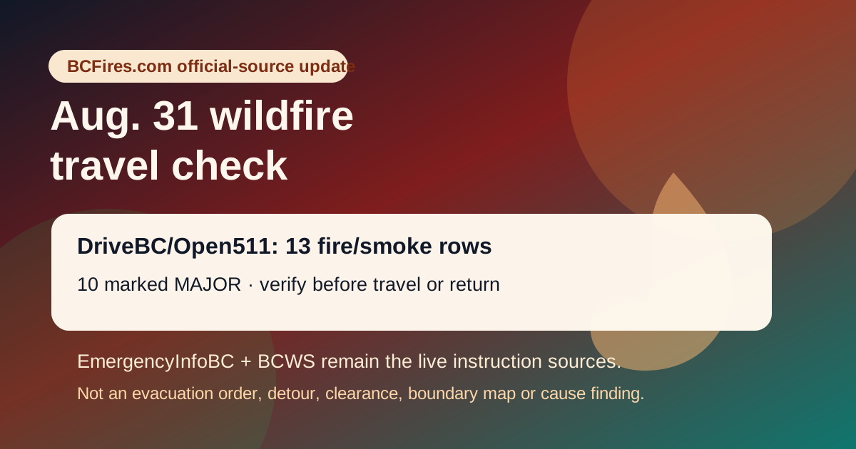
Official-source travel check. DriveBC/Open511 captured 13 wildfire/fire/smoke rows, including 10 marked MAJOR; EmergencyInfoBC still listed wildfire/evacuation/action pages. This is not a new evacuation order, road detour, fire-boundary map, return-home clearance or cause finding.
If life or property is at immediate risk, call 911. To report a wildfire, call 1-800-663-5555 or *5555 on a cellphone.
This is a dated source-card. It is not a new evacuation order, road detour, safe-return clearance, fire boundary map or cause finding. Before travelling or returning, open live DriveBC, EmergencyInfoBC, local or First Nation authority pages and BC Wildfire Service pages.
What changed or remains active in the official feeds
At capture time on Aug. 31, DriveBC/Open511 still listed 13 road rows containing wildfire, fire or smoke wording, with 10 marked MAJOR. EmergencyInfoBC also continued to list wildfire/evacuation/action pages, while the latest BCWS news post in the sampled feed remained Area restriction in effect for Ezra Creek area from 2026-08-29T11:57:11.
The useful reader takeaway is not that conditions are settled. It is the opposite: screenshots and yesterday's travel advice can age quickly, so readers should reopen the official road, evacuation and BCWS pages before moving through affected corridors.
Selected DriveBC/Open511 rows captured
| Severity | Road | Updated | Official wording excerpt |
|---|---|---|---|
| MAJOR | Other Roads | 2026-08-27T13:25:21-07:00 | Princeton Summerland Rd. There is a wildfire between Trout Creek Main and Summerland 45 km north of Princeton. Road closed. Watch for traffic control. Alternate Routes - HWY 5A & HWY 3. Next update time Mon Aug 31 at 10:00 AM PDT. Last updated Thu Aug 27 at 1:25 PM PDT. (DBC-93947) Open Open511 event |
| MAJOR | Big Bar Reaction Ferry | 2026-08-28T12:05:26-07:00 | Big Bar Reaction Ferry. There is a wildfire at Big Bar Reaction Ferry (Big Bar Reaction Ferry). Ferry route closed. Next update time Mon Aug 31 at 12:00 PM PDT. Last updated Fri Aug 28 at 12:05 PM PDT. (DBC-93766) Open Open511 event |
| MAJOR | Highway 97 | 2026-08-28T12:31:31-07:00 | Wildfire from Highway 97, In Spallumcheen and At Highway 97 and Old Kamloops Road to At Salmon River Road. Road open. Watch for traffic control. Last update: August 28th, 2026 at 12:31pm PDT. Next update: August 31st, 2026 at 12:00pm PDT. No stopping between Head of the Lake Rd and Grandview Flats Rd. Open Open511 event |
| MAJOR | Westside Rd | 2026-08-28T12:33:35-07:00 | Westside Rd, in both directions. There is a wildfire between Komasket Rd and Simla Rd for 8.1 km (48 to 56 km east of West Kelowna). Westside Rd is open. No stopping between Irish Creek Rd and Komasket Rd. Use caution. Avoid non-essential travel. Local traffic only. Next update time Mon Aug 31 at 12:00 PM PDT. Last updated Fri Aug 28 at 12:33 PM PDT. (DBC-93854) Open Open511 event |
| MAJOR | Other Roads | 2026-08-28T12:53:37-07:00 | Big Bar Rd, in both directions. There is a wildfire between Little Big Bar Lake Rd and The Big Bar Ferry. Road closed. Road closed to all traffic except emergency vehicles. Next update time Mon Aug 31 at 12:00 PM PDT. Last updated Fri Aug 28 at 12:53 PM PDT. (DBC-93680) Open Open511 event |
| MAJOR | Other Roads | 2026-08-28T12:53:43-07:00 | Meadow Lake Rd, in both directions. There is a wildfire between Dog Creek Rd and Gang Ranch Rd. Road closed. Road closed to all traffic except emergency vehicles. Next update time Mon Aug 31 at 12:00 PM PDT. Last updated Fri Aug 28 at 12:53 PM PDT. (DBC-93781) Open Open511 event |
| MAJOR | Highway 1 | 2026-08-28T13:25:38-07:00 | Highway 1 (TransCanada Highway), in both directions. There is a wildfire between Anderson River Mainline and Thomas Rd for 2.5 km (20 to 23 km north of Yale). Road open to traffic. Single lane alternating traffic. Watch for traffic control. Through a 2km section extending 1km south of Alexandra Tunnel to 1km north of Alexandra Tunnel. Obey signage and expect delays of up to 30 min. Next update time Mon Aug 31 at 11:00 AM PDT.… Open Open511 event |
| MAJOR | Other Roads | 2026-08-28T13:26:24-07:00 | Silver Skagit Rd, in both directions. There is a wildfire between Silver Skagit Rd 6km mark and USA/Canada Border. Road closed. Closure point is approximately 6km south of Flood Hope Rd due to Provincial Parks closure caused by Hozomeen Mountain Wildfire. Silver Lake remains open. Ross Lake Campground and Skagit Valley Park closed. Next update time Mon Aug 31 at 12:00 PM PDT. Last updated Fri Aug 28 at 1:26 PM PDT. (DBC-93773) Open Open511 event |
| MAJOR | Other Roads | 2026-08-28T16:15:03-07:00 | Pavilion-Clinton Rd, in both directions. There is a wildfire between Pear Lake Road and Mowhich Road. Road closed. Road closed to all traffic except emergency vehicles. Next update time Tue Sep 1 at 12:00 PM PDT. Last updated Fri Aug 28 at 4:15 PM PDT. (DBC-93772) Open Open511 event |
| MAJOR | Highway 3 | 2026-08-29T15:31:49-07:00 | Wildfire from Highway 3, in Manning Park to 8km west of Allison Pass. Speed Limit restriction: 80km/h. Last update: August 29th, 2026 at 3:31pm PDT. Next update: August 31st, 2026 at 10:00am PDT. Reduced to one lane in each direction in the westbound lanes. Follow traffic control signage. No stopping in wildfire zones. Open Open511 event |
EmergencyInfoBC wildfire/action pages sampled
- Evacuation Alert issued for some areas in Electoral Area B — modified 2026-08-28T13:18:56. Open EmergencyInfoBC page
- Regional District of Bulkley-Nechako evacuation information — modified 2026-08-28T17:53:02. Open EmergencyInfoBC page
- Evacuation Alert issued for parts of Clinton — modified 2026-08-25T13:13:19. Open EmergencyInfoBC page
- Evacuation Alert RESCINDED for Oceanview & Kelvin Grove roads — modified 2026-08-24T12:02:12. Open EmergencyInfoBC page
- Cayoose Creek Indian Band evacuation information — modified 2026-08-15T11:38:07. Open EmergencyInfoBC page
- Cook’s Ferry Indian Band evacuation information — modified 2026-08-27T14:34:16. Open EmergencyInfoBC page
- Lower Similkameen Indian Band evacuation information — modified 2026-08-17T17:13:54. Open EmergencyInfoBC page
- City of Revelstoke evacuation information — modified 2026-08-15T15:54:34. Open EmergencyInfoBC page
- Snpink’tn Indian Band evacuation information — modified 2026-08-28T19:12:59. Open EmergencyInfoBC page
What this does not prove
- It does not prove a new evacuation order or alert exists for any community; open EmergencyInfoBC and the local authority page for current instructions.
- It does not prove a road is safe or open now; DriveBC rows can change after this capture.
- It does not make any arson, named-person, ignition-cause or final fire-boundary claim.
- Absence of a newer BCWS news post in the sampled feed is not an all-clear.
Source package
BCFires saved the source trail for this item under research/official-bc-wildfire-travel-check-august-31-2026-2026-08-31/source-note.md, including DriveBC/Open511 rows, EmergencyInfoBC event samples, BCWS latest-post captures, fire-ban page capture and claim table.