Daily official-source check · August 25, 2026
August 25 official wildfire check: Highway 1 closure, Lions Bay alert rescinded and live evacuation links
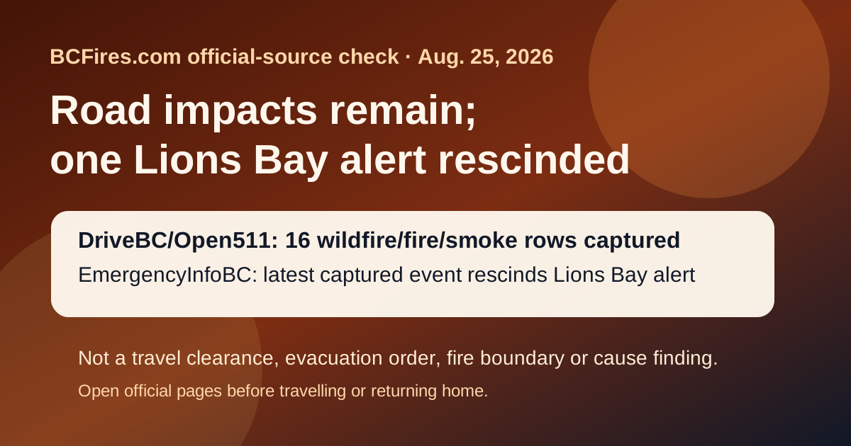
This morning’s BCFires snapshot is travel-and-status focused: DriveBC/Open511 still listed wildfire-related road impacts, EmergencyInfoBC’s latest captured wildfire event said the Lions Bay evacuation alert for Oceanview and Kelvin Grove roads was rescinded, and BCWS had no newer captured bulletin than the Aug. 21 Northwest Fire Centre Category 2 open-fire prohibition post.
Emergency wording: If life or property is at immediate risk, call 911. To report a wildfire, call 1-800-663-5555 or *5555 on a cellphone.
What this is not: this source-card is not a new evacuation order, evacuation alert, travel clearance, fire boundary, detour instruction, return-home notice or wildfire-cause finding. It is a dated pointer to official live sources that can change quickly.
Short verdict
Official-source snapshot, useful for readers. DriveBC/Open511 had 16 wildfire/fire/smoke rows at capture time, including 12 marked MAJOR. EmergencyInfoBC’s latest captured event said the Village of Lions Bay rescinded an evacuation alert for approximately 30 properties on Oceanview and Kelvin Grove roads because the threat to life and safety had passed for that alert area.
The practical takeaway is still cautious: one rescinded alert does not clear every B.C. road, wildfire zone or evacuated community. Use the live official pages for the exact community or route before travelling or returning home.
What the official sources showed at capture time
- DriveBC/Open511: 16 wildfire/fire/smoke rows were found in the public event feed, including 12 marked major.
- EmergencyInfoBC: latest captured event — Evacuation Alert RESCINDED for Oceanview & Kelvin Grove roads; modified 2026-08-24T12:02:12.
- BC Wildfire Service latest posts: latest captured post — Category 2 open fire prohibition planned for the Northwest Fire Centre; posted 2026-08-21T12:20:09.
Selected DriveBC wildfire/fire/smoke road rows
Open the live DriveBC/Open511 event before travelling. The table below preserves selected rows from the captured feed.
| Severity | Route | Updated | Official visible wording |
|---|---|---|---|
| MAJOR | Highway 97 | 2026-08-24T13:25:57-07:00 | Wildfire from Highway 97, In Spallumcheen and At Highway 97 and Old Kamloops Road to At Salmon River Road. Road open. Watch for traffic control. Last update: August 24th, 2026 at 1:25pm PDT. Next update: August 25th, 2026 at 12:00pm PDT. No stopping between Head of the Lake Rd and Grandview Flats Rd. Open Open511 event |
| MAJOR | Westside Rd | 2026-08-24T12:37:33-07:00 | Westside Rd, in both directions. There is a wildfire between Komasket Rd and Simla Rd for 8.1 km (48 to 56 km east of West Kelowna). Westside Rd is open. No stopping between Irish Creek Rd and Komasket Rd. Use caution. Avoid non-essential travel. Local traffic only. Next update time Tue Aug 25 at 12:00 PM PDT. Last updated Mon Aug 24 at 12:37 PM PDT. (DBC-93854) Open Open511 event |
| MAJOR | Highway 1 | 2026-08-24T11:00:10-07:00 | Highway 1 (TransCanada Highway), in both directions. There is a wildfire between Spuzzum Creek Rd and Aspen Rd for 19.9 km (18 km north of Yale to 28 km south of Jackass Mountain Summit). Road closed. Use Highway 3 or Highway 5 as alternate route. Next update time Tue Aug 25 at 11:00 AM PDT. Last updated Mon Aug 24 at 11:00 AM PDT. (DBC-93451) Open Open511 event |
| MAJOR | Other Roads | 2026-08-21T14:15:39-07:00 | Meadow Lake Rd, in both directions. There is a wildfire between Dog Creek Rd and Gang Ranch Rd. Road closed. Road closed to all traffic except emergency vehicles. Next update time Fri Aug 28 at 12:00 PM PDT. Last updated Fri Aug 21 at 2:15 PM PDT. (DBC-93781) Open Open511 event |
| MAJOR | Highway 97 | 2026-08-21T11:59:32-07:00 | Wildfire from Highway 97, In Peachland and 500m north of Hardy St to At Pyramid Picnic Area (Kickininee Provincial Park). Last update: August 21st, 2026 at 11:59am PDT. Next update: August 25th, 2026 at 12:00pm PDT. Highway 97 OPEN. No exiting into evacuation order areas. Watch for workers. Evacuation info via Emergency Info BC. Open Open511 event |
| MAJOR | Other Roads | 2026-08-21T11:53:01-07:00 | Jesmond Rd, in both directions. There is a wildfire between Big Bar Rd and Pavilion Clinton Rd. Road closed. Road closed to all traffic except emergency vehicles. Next update time Fri Aug 28 at 12:00 PM PDT. Last updated Fri Aug 21 at 11:53 AM PDT. (DBC-93780) Open Open511 event |
| MAJOR | Other Roads | 2026-08-21T11:52:46-07:00 | Big Bar Rd, in both directions. There is a wildfire between Little Big Bar Lake Rd and The Big Bar Ferry. Road closed. Road closed to all traffic except emergency vehicles. Next update time Fri Aug 28 at 12:00 PM PDT. Last updated Fri Aug 21 at 11:52 AM PDT. (DBC-93680) Open Open511 event |
| MAJOR | Big Bar Reaction Ferry | 2026-08-21T11:51:02-07:00 | Big Bar Reaction Ferry. There is a wildfire at Big Bar Reaction Ferry (Big Bar Reaction Ferry). Ferry route closed. Next update time Fri Aug 28 at 12:00 PM PDT. Last updated Fri Aug 21 at 11:51 AM PDT. (DBC-93766) Open Open511 event |
EmergencyInfoBC event pages to check
EmergencyInfoBC rows are local/First Nation/provincial action pages, not all evacuation orders. Open the specific event page and the local authority link before acting.
- Evacuation Alert RESCINDED for Oceanview & Kelvin Grove roads — modified 2026-08-24T12:02:12. Open EmergencyInfoBC page
- Cayoose Creek Indian Band evacuation information — modified 2026-08-15T11:38:07. Open EmergencyInfoBC page
- Cook’s Ferry Indian Band evacuation information — modified 2026-08-11T13:53:18. Open EmergencyInfoBC page
- Lower Similkameen Indian Band evacuation information — modified 2026-08-17T17:13:54. Open EmergencyInfoBC page
- City of Revelstoke evacuation information — modified 2026-08-15T15:54:34. Open EmergencyInfoBC page
- Snpink’tn Indian Band evacuation information — modified 2026-08-15T13:26:00. Open EmergencyInfoBC page
Source package
- Source note
- Filtered DriveBC/Open511 wildfire rows
- EmergencyInfoBC event API capture
- BCWS latest-post capture
- Source summary JSON
Captured at 2026-08-25T13:47:39+00:00. BCFires is independent and not an official emergency service.