Official-source wildfire check · Aug. 26, 2026
August 26 official wildfire check: road closures, smoke rows and evacuation pages to keep open
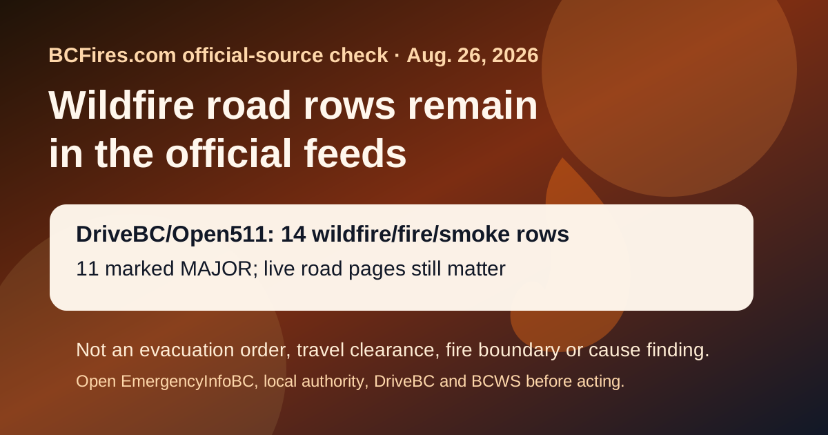
DriveBC/Open511's public feed still showed 14 wildfire/fire/smoke-related road rows when BCFires captured today's check, including 11 marked MAJOR. EmergencyInfoBC also continued to list wildfire and other evacuation-information pages, while the newest BC Wildfire Service post captured remained the Northwest Fire Centre Category 2 prevention bulletin from Aug. 21.
If life or property is at immediate risk, call 911. To report a wildfire, call 1-800-663-5555 or *5555 on a cellphone.
Bottom line: this is a dated official-source snapshot, not an evacuation order, travel clearance, fire-boundary update, detour guarantee, smoke-health forecast or cause finding. Open live EmergencyInfoBC, local/First Nation authority, DriveBC and BCWS pages before acting.
What changed in the official road feed
The highest-priority current travel signal is still from DriveBC/Open511. The newest selected wildfire row in this capture was drivebc.ca/DBC-93947 on Other Roads, updated 2026-08-25T13:31:48-07:00. Several rows describe road closures, local-traffic restrictions, reduced visibility from smoke or priority access for emergency crews.
| Status | Route | Updated | Official wording captured |
|---|---|---|---|
| MAJOR | Other Roads | 2026-08-25T13:31:48-07:00 | Princeton Summerland Rd. There is a wildfire between Trout Creek Main and Summerland 45 km north of Princeton. Road closed. Watch for traffic control. Alternate Routes - HWY 5A & HWY 3. Next update time Thu Aug 27 at 12:00 PM PDT. Last updated Tue Aug 25 at 1:31 PM PDT. (DBC-93947) Open Open511 event |
| MAJOR | Highway 97 | 2026-08-25T13:16:04-07:00 | Wildfire from Highway 97, In Spallumcheen and At Highway 97 and Old Kamloops Road to At Salmon River Road. Road open. Watch for traffic control. Last update: August 25th, 2026 at 1:16pm PDT. Next update: August 26th, 2026 at 12:00pm PDT. No stopping between Head of the Lake Rd and Grandview Flats Rd. Open Open511 event |
| MAJOR | Westside Rd | 2026-08-25T13:04:26-07:00 | Westside Rd, in both directions. There is a wildfire between Komasket Rd and Simla Rd for 8.1 km (48 to 56 km east of West Kelowna). Westside Rd is open. No stopping between Irish Creek Rd and Komasket Rd. Use caution. Avoid non-essential travel. Local traffic only. Next update time Wed Aug 26 at 12:00 PM PDT. Last updated Tue Aug 25 at 1:04 PM PDT. (DBC-93854) Open Open511 event |
| MAJOR | Highway 1 | 2026-08-25T11:08:06-07:00 | Highway 1 (TransCanada Highway), in both directions. There is a wildfire between Spuzzum Creek Rd and Aspen Rd for 19.9 km (18 km north of Yale to 28 km south of Jackass Mountain Summit). Road closed. Use Highway 3 or Highway 5 as alternate route. Next update time Wed Aug 26 at 11:00 AM PDT. Last updated Tue Aug 25 at 11:08 AM PDT. (DBC-93451) Open Open511 event |
| MAJOR | Other Roads | 2026-08-21T14:15:39-07:00 | Meadow Lake Rd, in both directions. There is a wildfire between Dog Creek Rd and Gang Ranch Rd. Road closed. Road closed to all traffic except emergency vehicles. Next update time Fri Aug 28 at 12:00 PM PDT. Last updated Fri Aug 21 at 2:15 PM PDT. (DBC-93781) Open Open511 event |
| MAJOR | Other Roads | 2026-08-21T11:53:01-07:00 | Jesmond Rd, in both directions. There is a wildfire between Big Bar Rd and Pavilion Clinton Rd. Road closed. Road closed to all traffic except emergency vehicles. Next update time Fri Aug 28 at 12:00 PM PDT. Last updated Fri Aug 21 at 11:53 AM PDT. (DBC-93780) Open Open511 event |
| MAJOR | Other Roads | 2026-08-21T11:52:46-07:00 | Big Bar Rd, in both directions. There is a wildfire between Little Big Bar Lake Rd and The Big Bar Ferry. Road closed. Road closed to all traffic except emergency vehicles. Next update time Fri Aug 28 at 12:00 PM PDT. Last updated Fri Aug 21 at 11:52 AM PDT. (DBC-93680) Open Open511 event |
| MAJOR | Big Bar Reaction Ferry | 2026-08-21T11:51:02-07:00 | Big Bar Reaction Ferry. There is a wildfire at Big Bar Reaction Ferry (Big Bar Reaction Ferry). Ferry route closed. Next update time Fri Aug 28 at 12:00 PM PDT. Last updated Fri Aug 21 at 11:51 AM PDT. (DBC-93766) Open Open511 event |
| MAJOR | Other Roads | 2026-08-21T11:50:48-07:00 | Pavilion-Clinton Rd, in both directions. There is a wildfire between Jesmond Rd and Mowhich Road. Road closed. Road closed to all traffic except emergency vehicles. Next update time Fri Aug 28 at 12:00 PM PDT. Last updated Fri Aug 21 at 11:50 AM PDT. (DBC-93772) Open Open511 event |
| MAJOR | Other Roads | 2026-08-19T20:19:20-07:00 | Silver Skagit Rd, in both directions. There is a wildfire between Silver Skagit Rd 6km mark and USA/Canada Border. Road closed. Closure point is approximately 6km south of Flood Hope Rd due to Provincial Parks closure caused by Hozomeen Mountain Wildfire. Silver Lake remains open. Ross Lake Campground and Skagit Valley Park closed. Next update time Wed Aug 26 at 12:00 PM PDT. Last updated Wed Aug 19 at 8:19 PM PDT. (DBC-93773) Open Open511 event |
EmergencyInfoBC pages still need live checks
EmergencyInfoBC's newest overall event in the API was Evacuation Alert issued for parts of Clinton, but its current event feed still included wildfire evacuation-information pages. Those pages are local/First Nation/provincial action pages; they are not all active evacuation orders. Open the specific page and the named local authority link before travel or return-home decisions.
- Evacuation Alert issued for parts of Clinton — modified 2026-08-25T13:13:19. Open EmergencyInfoBC page
- Evacuation Alert RESCINDED for Oceanview & Kelvin Grove roads — modified 2026-08-24T12:02:12. Open EmergencyInfoBC page
- Cayoose Creek Indian Band evacuation information — modified 2026-08-15T11:38:07. Open EmergencyInfoBC page
- Cook’s Ferry Indian Band evacuation information — modified 2026-08-11T13:53:18. Open EmergencyInfoBC page
- Lower Similkameen Indian Band evacuation information — modified 2026-08-17T17:13:54. Open EmergencyInfoBC page
- City of Revelstoke evacuation information — modified 2026-08-15T15:54:34. Open EmergencyInfoBC page
- Snpink’tn Indian Band evacuation information — modified 2026-08-25T15:05:56. Open EmergencyInfoBC page
- Nooaitch Indian Band evacuation information — modified 2026-08-24T14:07:55. Open EmergencyInfoBC page
BCWS prevention context
The latest BC Wildfire Service bulletin captured by the daily check was Category 2 open fire prohibition planned for the Northwest Fire Centre, dated 2026-08-21T12:20:09. That prevention notice is useful context, but it does not replace live incident, road, evacuation or local authority pages.
Source package
- Source note
- Filtered DriveBC/Open511 wildfire rows
- EmergencyInfoBC event API capture
- BCWS latest-post capture
- Source summary JSON
Captured at 2026-08-26T13:47:13+00:00. BCFires is independent and not an official emergency service.