Official-source daily check · Published August 17, 2026
August 17 official wildfire check: evacuation pages and road events to verify before travel
BCFires captured current official wildfire and emergency sources early August 17, 2026. The practical takeaway: use EmergencyInfoBC, the affected local or First Nation authority, DriveBC and BC Wildfire Service before travelling, returning home or sharing a screenshot.
Short verdict
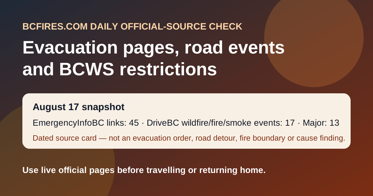
Official sources support a dated daily source card. In this capture, EmergencyInfoBC exposed 45 wildfire/evacuation/action links and 30 event API rows; DriveBC/Open511 showed 17 wildfire/fire/smoke road events, including 13 marked major; and BC Wildfire Service latest posts still pointed readers to restriction and prevention context.
This article does not create a new evacuation order, alert, road detour, safe-return clearance, fire boundary or cause determination. It is a source snapshot pointing readers to the live agency pages.
EmergencyInfoBC: current evacuation/action pages remain the first stop
EmergencyInfoBC pages can change quickly. The current capture included these recent event-page titles:
- Cayoose Creek Indian Band evacuation information modified 2026-08-15 11:38
- Cook’s Ferry Indian Band evacuation information modified 2026-08-11 13:53
- Lower Similkameen Indian Band evacuation information modified 2026-08-11 13:53
- City of Revelstoke evacuation information modified 2026-08-15 15:54
- Snpink’tn Indian Band evacuation information modified 2026-08-15 13:26
- Nooaitch Indian Band evacuation information modified 2026-08-11 13:57
- Province of British Columbia modified 2026-08-10 11:22
- Regional District of Okanagan-Similkameen evacuation information modified 2026-08-16 18:09
Use EmergencyInfoBC and the relevant local government or First Nation emergency page for the live order/alert wording.
DriveBC/Open511: wildfire road rows to verify before travel
The table is a snapshot of selected official DriveBC/Open511 rows. Conditions, closure points and next-update times can change.
| Road/location | DriveBC updated | Severity | Official wording captured |
|---|---|---|---|
| Westside Rd | 2026-08-16T16:01:45-07:00 | MAJOR | Westside Rd, in both directions. There is a wildfire between Komasket Rd and Simla Rd for 8.1 km (48 to 56 km east of West Kelowna). Road closed. Westside Road now open between Highway 97 South (West Kelowna) and Komasket Road. Next update time Mon Aug 17 at 3:00 PM PDT. Last updated Sun Aug 16 at 4:01 PM… DriveBC/Open511 event |
| Highway 97 | 2026-08-16T12:02:24-07:00 | MAJOR | Wildfire from Highway 97, In Peachland and 500m north of Hardy St to At Pyramid Picnic Area (Kickininee Provincial Park). Last update: August 16th, 2026 at 12:02pm PDT. Next update: August 21st, 2026 at 12:00pm PDT. Highway 97 OPEN. No exiting into evacuation order areas. Approved permit holders exit at Pr… DriveBC/Open511 event |
| Highway 16 | 2026-08-16T08:36:15-07:00 | MAJOR | Highway 16 (Yellowhead Highway), in both directions. There is a wildfire between Rainbow Chain Up and Telegraph Rest Area (44 km east of Prince Rupert). Single lane alternating traffic. Watch for traffic control. Next update time Mon Aug 17 at 10:00 AM PDT. Last updated Sun Aug 16 at 8:36 AM PDT. (DBC-93971) DriveBC/Open511 event |
| Highway 97 | 2026-08-15T15:23:30-07:00 | MAJOR | Wildfire from Highway 97, In Spallumcheen and At Highway 97 and Old Kamloops Road to At Salmon River Road. Road open. Watch for traffic control. Last update: August 15th, 2026 at 3:23pm PDT. Next update: August 17th, 2026 at 10:00am PDT. No stopping between Head of the Lake Rd and Grandview Flats Rd. DriveBC/Open511 event |
| Other Roads | 2026-08-15T11:59:38-07:00 | MAJOR | Pavilion-Clinton Rd, in both directions. There is a wildfire between Jesmond Rd and Mowhich Road. Road closed. Road closed to all traffic except emergency vehicles. Next update time Fri Aug 21 at 12:00 PM PDT. Last updated Sat Aug 15 at 11:59 AM PDT. (DBC-93772) DriveBC/Open511 event |
| Other Roads | 2026-08-15T11:58:09-07:00 | MAJOR | Jesmond Rd, in both directions. There is a wildfire between Big Bar Rd and Pavilion Clinton Rd. Road closed. Road closed to all traffic except emergency vehicles. Next update time Fri Aug 21 at 12:00 PM PDT. Last updated Sat Aug 15 at 11:58 AM PDT. (DBC-93780) DriveBC/Open511 event |
BCWS latest-post context
The latest BC Wildfire Service post in this capture was Area restriction implemented in vicinity of Ainslie Creek wildfire (2026-08-14). A lack of a newer BCWS bulletin in this capture is not an all-clear. It only means today’s BCFires card is built from the live EmergencyInfoBC, DriveBC and BCWS-source snapshot rather than a new cause finding or new incident bulletin.