Official-source daily check · Published August 14, 2026
August 14 official wildfire check: evacuation links, road closures and BCWS restrictions
BCFires captured current official wildfire/emergency sources early August 14, 2026. The practical takeaway: use EmergencyInfoBC, local or First Nation authority pages, DriveBC and BC Wildfire Service before travelling, returning home or sharing a screenshot.
Short verdict
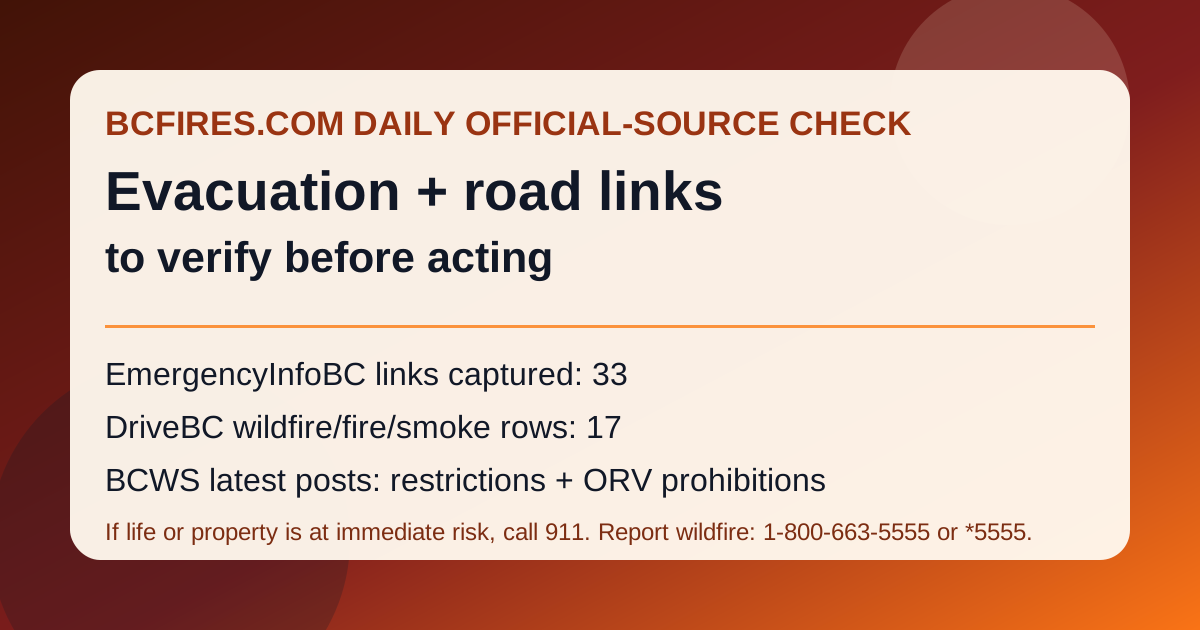
Official sources still support a daily emergency-and-travel source card. In the capture, EmergencyInfoBC listed 33 wildfire/evacuation/action links, DriveBC/Open511 showed 17 wildfire/fire/smoke road events, and BC Wildfire Service latest posts still pointed readers to area restrictions and off-road-vehicle prohibitions.
This article does not create a new order, alert, detour or fire boundary. It is a dated source snapshot that tells readers where to verify the live official instructions.
EmergencyInfoBC links visible in the capture
EmergencyInfoBC pages can change quickly. In this capture, visible wildfire/evacuation entries included:
- Province of British Columbia
- Squamish-Lillooet Regional District evacuation information
- Thompson-Nicola Regional District evacuation information
- Bonaparte (St’uxwtéws) First Nation evacuation information
- Fraser Valley Regional District evacuation information
- Coldwater Indian Band evacuation information
- Lower Nicola Indian Band evacuation information
- Cook’s Ferry Indian Band evacuation information
- Regional District of North Okanagan evacuation information
- Okanagan Indian Band evacuation information
- Cariboo Regional District evacuation information
- City of Revelstoke evacuation information
- Regional District of Okanagan-Similkameen evacuation information
- Snpink’tn Indian Band evacuation information
- Ts’kw’aylaxw First Nation evacuation information
- Evacuation Order issued
DriveBC wildfire road events in the capture
The table below is selected from the official Open511 feed. Road wording can update quickly and may be truncated in the feed, so click through to DriveBC for live status, detours and next-update times.
| DriveBC row | Updated | Severity | Captured wording |
|---|---|---|---|
| drivebc.ca/DBC-93680 | 2026-08-10T09:46:15-07:00 | MAJOR | Big Bar Rd, in both directions. There is a wildfire between Jesmond Rd and Highway 97. Road closed. Road closed to all traffic except emergency vehicles. Next update time Fri Aug 14 at 12:00 PM PDT. Last updated Mon Aug 10 at 9:46 AM PDT. (DBC-93680) |
| drivebc.ca/DBC-93781 | 2026-08-10T09:46:25-07:00 | MAJOR | Meadow Lake Rd, in both directions. There is a wildfire between Highway 97 and Poison Lake Rd. Road closed. Road closed to all traffic except emergency vehicles. Next update time Fri Aug 14 at 12:00 PM PDT. Last updated Mon Aug 10 at 9:46 AM PDT. (DBC-93781) |
| drivebc.ca/DBC-93780 | 2026-08-10T11:45:40-07:00 | MAJOR | Jesmond Rd, in both directions. There is a wildfire between Big Bar Rd and Pavilion Clinton Rd. Road closed. Road closed to all traffic except emergency vehicles. Next update time Fri Aug 14 at 12:00 PM PDT. Last updated Mon Aug 10 at 11:45 AM PDT. (DBC-93780) |
| drivebc.ca/DBC-93768 | 2026-08-10T19:01:01-07:00 | MAJOR | Highway 97 (Cariboo Connector), in both directions. There is a wildfire between Loon Lake Rd and North Bonaparte Rd for 50.2 km (17 km south of Clinton to 70 Mile House). Road closed. Detour available via Highway 1 through Kamloops, to Highway 5 and Highway 24 https://www.Drivebc.Ca/advisories/hwy97-clintoncariboo. Next update time Fri Aug 14 at 12:00 PM PDT. Last updated Mon Aug 10 at 7:01 PM PDT. (DBC-93768) |
| drivebc.ca/DBC-93772 | 2026-08-12T09:15:23-07:00 | MAJOR | Pavilion-Clinton Rd, in both directions. There is a wildfire between Clinton and Mowhich Road. Road closed. Road closed to all traffic except emergency vehicles. Next update time Fri Aug 14 at 12:00 PM PDT. Last updated Wed Aug 12 at 9:15 AM PDT. (DBC-93772) |
| drivebc.ca/DBC-93947 | 2026-08-12T10:54:41-07:00 | MAJOR | Princeton Summerland Rd. There is a wildfire between Trout Creek Main and Summerland 45 km north of Princeton. Road closed. Watch for traffic control. Alternate Routes - HWY 5A & HWY 3. Next update time Fri Aug 14 at 10:00 AM PDT. Last updated Wed Aug 12 at 10:54 AM PDT. (DBC-93947) |
| drivebc.ca/DBC-93854 | 2026-08-13T08:41:57-07:00 | MAJOR | Westside Rd, in both directions. There is a wildfire between Main St and Highway 97 North for 48.4 km (11 to 60 km east of West Kelowna). Road closed. North of 4400 block of Westside Rd -- CLOSED in both directions Road is OPEN up to Shelter Cove Alternate route via Highway 97. Next update time Tue Aug 18 at 12:00 PM PDT. Last updated Thu Aug 13 at 8:41 AM PDT. (DBC-93854) |
| drivebc.ca/RIDE-101188 | 2026-08-13T10:46:32-07:00 | MAJOR | Wildfire from Highway 97, In Peachland and 500m north of Hardy St to At Pyramid Picnic Area (Kickininee Provincial Park). Last update: August 13th, 2026 at 10:46am PDT. Next update: August 21st, 2026 at 12:00pm PDT. Road open 7am-7pm daily. Through route only. Reduced speed. No stopping or exiting except approved permit holders at Prairie Valley Rd. Commercial traffic via Hwy 33. Local traffic via Hwy 33; Carmi Ave, Beaverdell Rd, 201 FSR, Okanagan Falls Rd, McCulloch Rd. |
BC Wildfire Service latest posts to check
BCWS had no newer latest-news row than the August 10 restriction/prohibition posts in the API capture. Those posts remain useful because they point to official restrictions readers should verify before entering Crown land, parks, recreation areas or backroads.
- Area restriction in effect for Mount Rollins area — posted 2026-08-10
- Off-road vehicles to be prohibited in the Kamloops Fire Centre — posted 2026-08-10
- Off-road vehicles to be prohibited in the Southeast Fire Centre — posted 2026-08-10
- Off-road vehicle prohibition for parts of Coastal Fire Centre — posted 2026-08-10
- Off-Road Vehicles to be prohibited in the Cariboo Fire Centre — posted 2026-08-10
- Area restriction in effect for the Hope Creek area — posted 2026-08-09
How to use this source card
- Use EmergencyInfoBC and the named local or First Nation authority for evacuation orders and alerts.
- Use DriveBC for route closures, no-stopping zones, lane restrictions, detours and next road-update times.
- Use BCWS for the wildfire map, prohibitions, area restrictions and reporting links.
- Do not infer fire cause, evacuation boundaries or safe return-home status from a social post or a single road row.
Source package
BCFires preserved the source snapshot here: source note, source summary JSON, DriveBC filtered event JSON, EmergencyInfoBC link summary and BCWS latest posts JSON.